Expert Surveying
SETHATHI GEOMATICS
Welcome to Sethathi Geomatics, the home of expert surveying.

ABOUT US
Tailored Surveying with Expertise
Discover how Sethathi Geomatics, a leading Engineering Surveyor company, leverages cutting-edge technology and precision to deliver projects on time with unmatched accuracy. Explore our expertise in a diverse range of surveying projects.

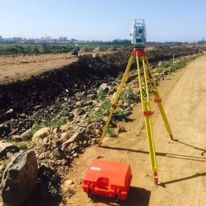
Engineering Survey

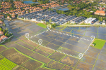
Aerial Drone Survey
GIS Data Capture

3D Laser Scanning

Survey Control
Cadastral
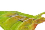
Topographical Survey
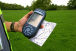
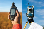
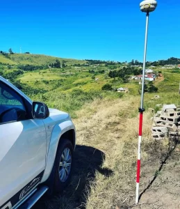
G.P.S Survey

Building Survey

Construction Survey
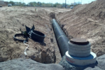
Sewer Pipeline Survey

Consulting
OUR PROJECTS
Explore Our Work
Our projects span across key locations such as KwaZulu-Natal, Eastern Cape, and more, where we have played an integral role in major infrastructure developments like the Umgeni Interchange and Oceans Umhlanga Hotel. Whether it’s engineering, construction, or aerial drone surveys, our experienced team is ready to assist with projects of any scale, ensuring professional standards and client satisfaction.

Key Benefits
Why We Are the Best Partner for Your Project
We’ve had the privilege of collaborating with leading institutions and municipalities, consistently delivering high-quality projects that meet and exceed expectations. Our expertise and commitment to excellence have earned us the trust of some of the most respected organizations in the industry.
Versatile Services
Budget-Friendly
Happy Clients
Years of Experience
Projects Done
Professionals


GET IN TOUCH
Crafted with Care, Delivered with Precision.
For any inquiries, simply fill out the contact form with your details and query. You can also reach us directly by phone, email, or connect with us on social media. We’re here to help and look forward to hearing from you!
Follow Us